
Georeferencing Tool
Align scanned maps, aerial photos, and site plans to real-world coordinates. Everything runs in your browser — your imagery never leaves your device.
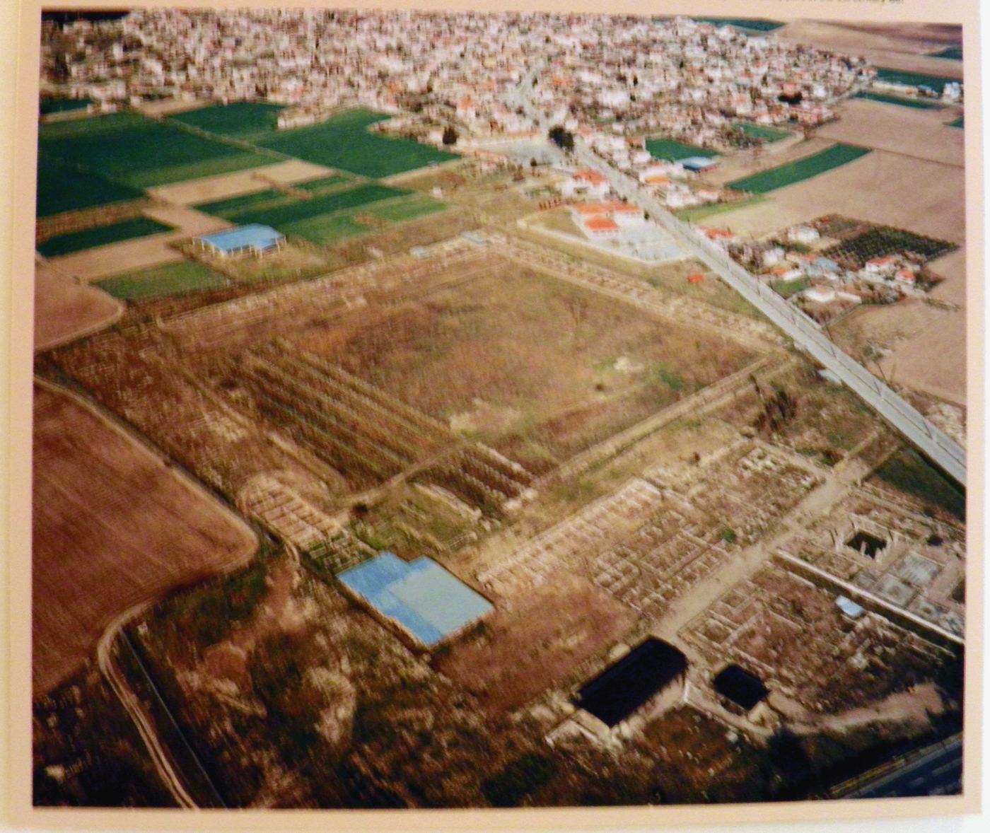
1Upload an image — a scanned map, aerial photo, or site plan (PNG, JPEG, GIF, WebP, or TIFF).
2Add control points — click a recognizable spot on the image, then click the same spot on the map. Repeat for at least 3 points spread across the image.
3Check & export — review the live overlay and residuals, then download a GeoTIFF, world file, or KMZ.
Imagedrag & zoom · click to place a point
Drop an image here or click to browse
PNG · JPEG · GIF · WebP · TIFF — processed locally, nothing is uploaded
Mapclick to match the image point
Ground Control Points
| # | Image X | Image Y | Longitude | Latitude | Residual |
|---|
No control points yet. Click a recognizable spot on the image to start — road intersections, building corners, and landmarks work best.
Export
GeoTIFF: rectified (warped) raster in Web Mercator, ready for QGIS/ArcGIS.
World file: your original untouched image + sidecar .wld/.prj georeference.
KMZ: ground overlay for Google Earth.
All processing happens locally in your browser. Images and coordinates are never uploaded to a server.