
Your premier resource for GIS professionals. Explore environmental sustainability, green building practices, urban planning insights, and the latest geospatial tools and trends.
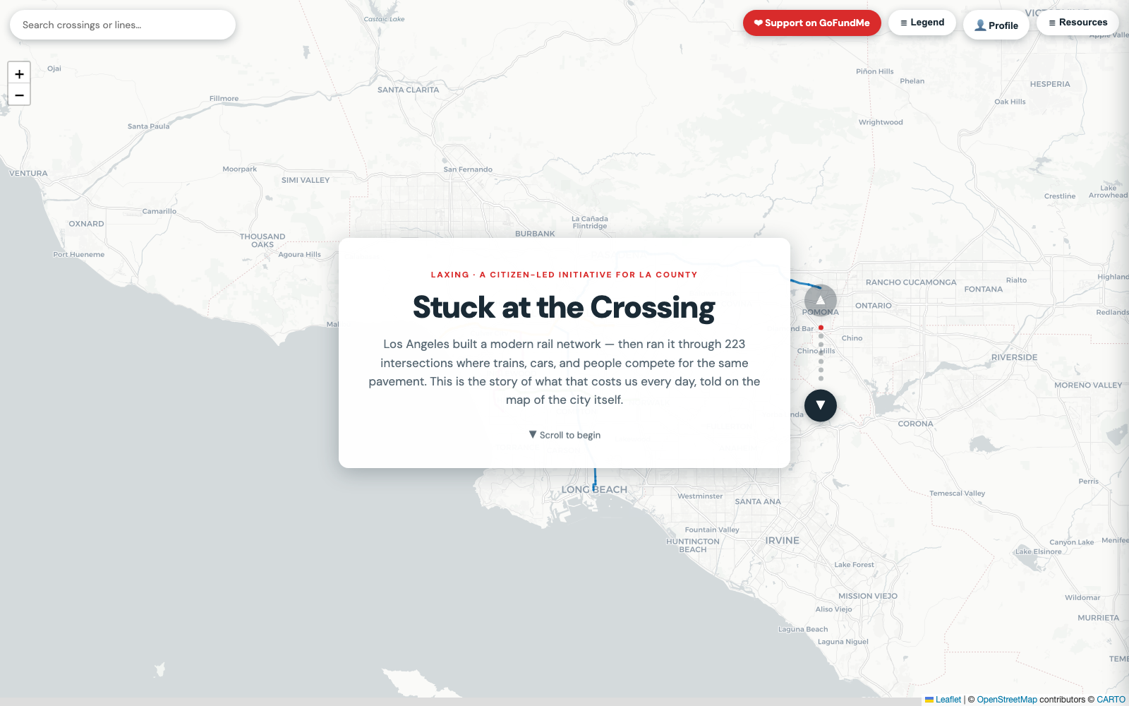
An interactive Story Map and data explorer of every place the A, E and K Lines meet street traffic at grade, built as the evidence base for a citizen-led LA County ballot initiative to grade-separate them.
Independent volunteer project by Justin Levy and Nico Tek Solutions / GeoidLife — not an LA DOT or Metro project.
The Story Map: ten chapters from “223 crossings” to the fix, told over a live map of Los Angeles.
Deep dives into the intersection of geography, technology, and sustainable development.
Master the latest GIS technologies, workflows, and best practices. From ESRI tools to open-source solutions.
Read moreLeverage geospatial data for environmental monitoring, conservation efforts, and climate resilience planning.
Read moreIntegrate GIS into sustainable architecture, site selection, and green building certification processes.
Read moreSmart city development, transportation planning, and community-focused spatial analysis solutions.
Read moreBrowser-based tools to streamline your geospatial workflows.
Convert between GIS formats: Shapefile, GeoJSON, KML, and more.
LiveTransform coordinates between different spatial reference systems.
LiveAlign raster images to real-world coordinates with ease.
LiveRun buffer, intersection, and overlay analysis in the browser.
LiveBriefings on GeoAI, datum modernization, and the tools reshaping geospatial work — with sources.
Every US coordinate will shift by up to four meters under the modernized NSRS. The timeline and how to prepare.
GeoAIWhat's actually GA as of June 2026, what it costs, and how admins keep control.
CareersEsri argues AI expands the profession. The skills that will define the next decade.
Data EngineeringParquet has native geometry types now. A field guide to the cloud-native format landscape.
IndustryPrompt-to-app AI, one-click AWS deploys, and a field app — where GIS software is headed.
GeoAI64 numbers for every 10-meter square on Earth, now in open formats anyone can read.