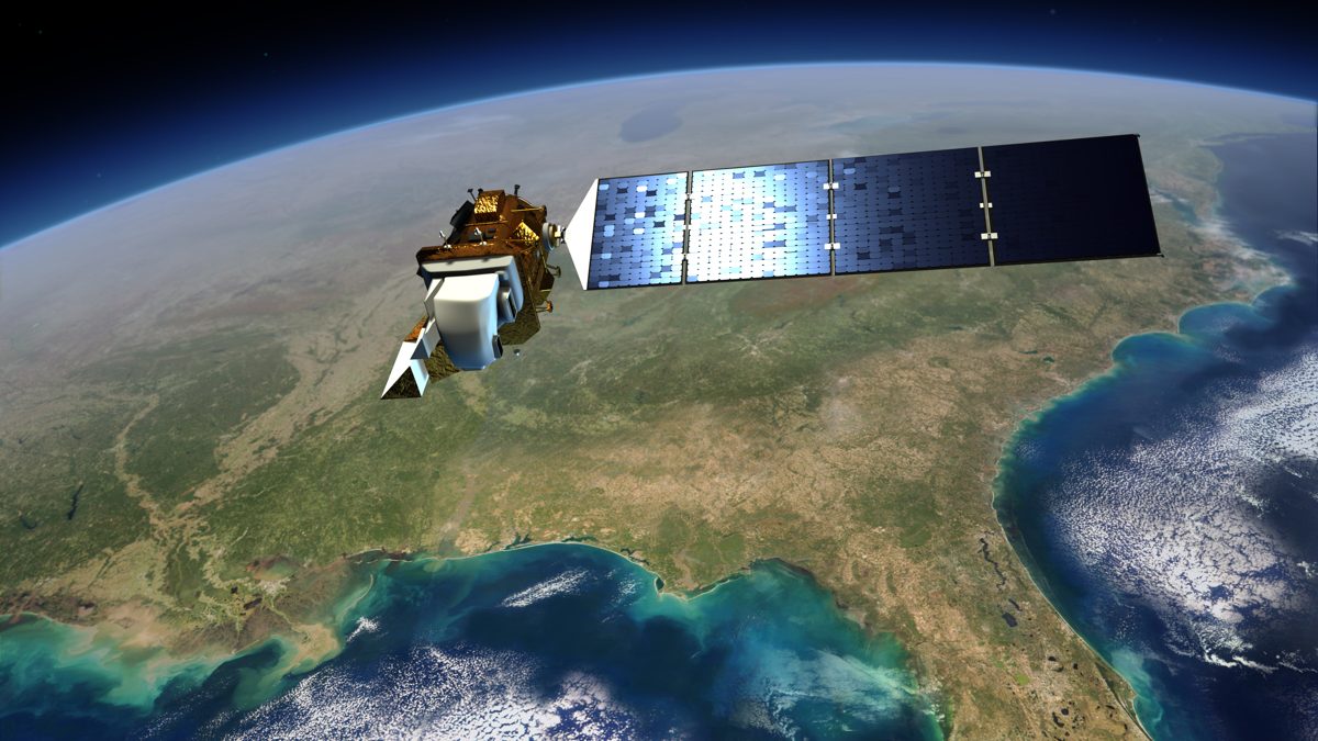
If your workflows run on free Landsat imagery — and for a huge share of GIS professionals, they do — the mission's future quietly changed shape this spring. In May 2026, NASA and USGS replaced the planned three-satellite "Landsat Next" constellation with a single observatory and renamed the mission Landsat 10, with Goddard releasing a draft RFP for the spacecraft the same month [1].
What the descope actually cost
The original Landsat Next design promised a 6-day revisit and roughly 15 times more data than Landsat 9 [3]. Landsat 10 targets a 2031 launch into a 653 km sun-synchronous orbit with an 18-day revisit — a third of the promised temporal cadence [1][2]. The budget story explains the design story: NASA's FY2026 request contained $70 million for Sustainable Land Imaging and zero for Landsat Next, even as Congress had advocated the three-satellite architecture at $183 million [3]. Critics were blunt — NASA Watch warned the descoping could push users toward ESA or Chinese alternatives [4].
What survives — and it's substantial
The spectral ambition largely made the cut. Landsat 10 carries 26 spectral bands versus 11 on Landsat 8/9, at 10–60 m resolution, producing roughly 900 scenes and 3.3 TB of new data daily [1][2]. That includes ten new application bands aimed at algal blooms, snow hydrology, and crop residue, plus five Sentinel-2-compatible bands designed for interoperability [2]. The "superspectral" future is still coming — just on one bus instead of three.
Planning around the gap
- Mind the continuity risk. A 2031 launch leaves Landsat 8 and 9 carrying the archive's continuity for another half decade — build contingency into any long-term monitoring program.
- Lean on the Sentinel-2 pairing now. The harmonized Landsat–Sentinel approach is the practical answer to revisit limits, and Landsat 10's compatible bands show that pairing is the official plan, not a workaround.
- Follow the draft RFP cycle. Requirements can still move between draft and contract — the mission's final shape isn't inked yet.
The uncomfortable takeaway: the world's benchmark free imagery program traded temporal resolution for budget survival. The spectral payoff in 2031 will be real — but the years between are the part working analysts have to plan for.